Cape York borders the Coral Sea to the east and the Gulf of Carpentaria to the west, jutting northwards into the Torres Strait in the far N/E of Queensland.
By road and track, the shortest route from the main city Cairns, to the tip of the peninsula is 952km.
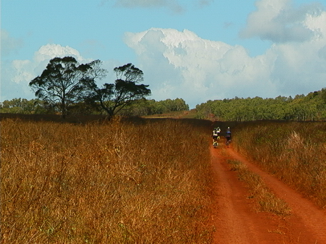
The region is vast and sparsely populated. It is a patchwork of tropical savannah, with numerous streams and rivers along the eastern coast running from the Great Dividing Range to the Coral Sea. Some of the largest tracts of virgin tropical rainforest in Australia are found on the York Peninsula, with several beautiful and rarely visited national parks found in the forest areas.
The Great Barrier Reef stretches offshore for 1000 km to the east, protected as the Great Barrier Reef Marine Park. Some of the best scuba diving in the world is found along the reef.

Today x360 traveled from the mouth of the Starcke River southwest towards the interior of the York Peninsula. We cycled through deep forests along a sandy track for the first 30 km. As we left the coastal area and came out of the forest, the track turned to brown, hard-pack soil. The countryside opened-up into large grasslands and river valleys. We crossed through several rivers keeping an eye-out for crocodiles, and are camped this evening along the banks of Tiger Creek, in the deep rainforest.
Jim