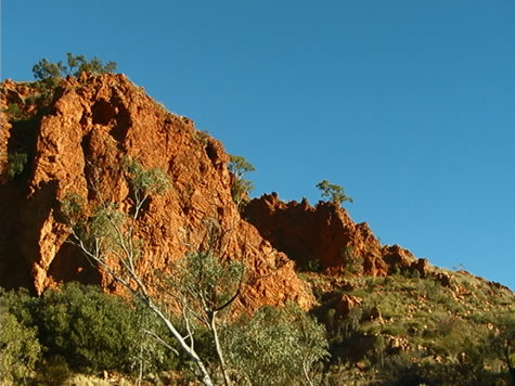
2001 September 3, Monday. Bluff Camp Ground.
As we rode between Ross River Homestead and Trephina Gorge Nature Park yesterday evening, the moonlight showed clearly the silhouettes of craggy rock peaks, though the road snaked gently through the broad valley bottoms. We became aware of significant changes in air temperature as we turned corners and passed by different vegetation, and traced this variation to a number of sources:
Throughout the day, warmth from the sun is absorbed by the earth. Rocks, sand, and hillsides, all are hot to the touch by mid afternoon in the powerful desert sun. As night falls, the sun no longer warms the air, and gradually the entire landscape freshens.

First the eastern aspects of the hills, which have already been in shadow for some hours, begin to chill. Creek beds follow closely after, because of the moisture from underground sources, and the protection offered by the vegetation including river red gum trees. West facing slopes and dry exposed earth reach a higher temperature throughout the day, and take longer to cool after sunset.
The various times taken for these features to release their solar heat create these pockets of different temperature air, and the still of these winter evenings combined with the protection offered by the mountains prevents the temperatures between them from equalising quickly.
Because of this system, the earth has lost all of its stored heat by dawn, and the burning heat of each day begins with a cool morning – sometimes approaching freezing point. This is the time we do our most efficient biking, and the main reason we tried a night ride.
Go for a walk out of doors and feel the temperature of different objects, both in and out of direct sunlight. Try grassy and open ground, a tree trunk, a concrete surface and a piece of metal. Which objects conduct more heat? Write down your observations.
bel